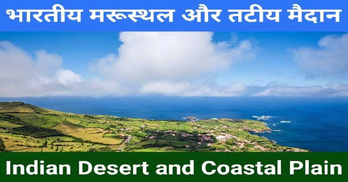
भारतीय मरूस्थल और तटीय मैदान | Indian Desert and Coastal Plain
भारतीय मरूस्थल (Indian Desert)
भारत का सबसे बड़ा मरुस्थल 'थार का मरुस्थल' है। यह अरावली पर्वत श्रृंखला के पश्चिमी किनारे पर अवस्थित है। यह बालू के टिब्बों से ढँका हुआ है। यह एक तरंगित मैदान है। इस मरुस्थलीय क्षेत्र में प्रति वर्ष 150 मिलीमीटर से भी कम वर्षा होती है। इसलिए यहाँ वनस्पति बहुत कम है। यह शुष्क जलवायु वाला क्षेत्र है। यहाँ केवल वर्षा ऋतु में ही कुछ सरिताएँ दिखाई देती हैं तथा उसके बाद वे बालू में ही विलुप्त हो जाती हैं। पर्याप्त मात्रा में जल प्राप्त न होने के कारण वे समुद्र तक नहीं पहुँच पाती हैं। थार के मरुस्थल की सबसे बड़ी नदी 'लूनी' है।
The largest desert of India is 'Thar desert'. It is situated on the western side of the Aravalli mountain range. It is covered with sand dunes. It is a rippling field. This desert region receives less than 150 mm of rainfall per year. So there is very little vegetation here. It is an area with dry climate. Here some streams are visible only in the rainy season and after that they disappear in the sand itself. Due to lack of sufficient water, they are not able to reach the sea. 'Luni' is the largest river in the Thar Desert.
भूगोल के इन 👇 प्रकरणों को भी पढ़ें। (Also read these 👇 episodes of Geography.)
प्रायद्वीपीय पठार– मध्य उच्चभूमि, दक्कन ट्रैप | Peninsular Plateau– Central Highlands, Deccan Trap
बरकान (Barkan)
यह अर्धचंद्राकार बालू का टीला है। इसका विस्तार थार के मरुस्थल के बहुत-से क्षेत्र में हुआ है। भारत के राजस्थान के जैसलमेर में बरकान के समूह देखे जा सकते हैं। इसके अलावा थार के मरुस्थल में लंबवत टीले भी पाए जाते हैं। ये टीले भारत-पाकिस्तान की सीमा के निकट प्रमुखता से पाए जाते हैं।
This is a crescent shaped sand dune. It has expanded in many areas of the Thar desert. Clusters of Barkan can be seen in Jaisalmer, Rajasthan, India. Apart from this, vertical mounds are also found in the Thar desert. These mounds are found prominently near the Indo-Pakistan border.
भूगोल के इन 👇 प्रकरणों को भी पढ़ें। (Also read these 👇 episodes of Geography.)
भारत का उत्तरी मैदान– भाबर, तराई, भांगर, खादर | Northern Plains Of India– Bhabar, Terai, Bhangar, Khadar
भारत के तटीय मैदान (Coastal Plains of India)
भारत के प्रायद्वीपीय पठार के किनारों पर संकीर्ण तटीय पाट्टियों का विस्तार हुआ है। इन्हें तटीय मैदान के नाम से जाना जाता है। ये पश्चिम में अरब सागर से लेकर पूर्व में बंगाल की खाड़ी तक फैले हुए हैं। इनके अंतर्गत पश्चिमी तट और पूर्वी तट आते हैं।
Narrow coastal belts have spread along the edges of the Peninsular Plateau of India. These are known as coastal plains. They extend from the Arabian Sea in the west to the Bay of Bengal in the east. These include the West Coast and the East Coast.
भूगोल के इन 👇 प्रकरणों को भी पढ़ें। (Also read these 👇 episodes of Geography.)
हिमालय– हिमाद्रि (ऊँचे शिखर), हिमाचल, शिवालिक | Himalaya– Himadri (High Peak), Himachal, Shivalik
पश्चिमी तट (Western Coast)
पश्चिमी तट, पश्चिमी घाट और अरब सागर के बीच स्थित है। यह एक संकीर्ण मैदान है। इस मैदान के तीन भाग हैं। ये निम्नलिखित हैं–
1. कोंकण– यह पश्चिमी तट का उत्तरी हिस्सा है। इस क्षेत्र में भारत के मुंबई और गोवा स्थित हैं।
2. कन्नड मैदान– यह पश्चिमी तट का मध्य भाग है।
3. मालाबार तट– यह पश्चिमी तट का दक्षिणी भाग है। इस क्षेत्र में भारत का केरल स्थित है।
West Coast is situated between the Western Ghats and the Arabian Sea. It is a narrow field. This field has three parts. These are the following–
1. Konkan– This is the northern part of the west coast. Mumbai and Goa of India are located in this region.
2. Kannada Plain– This is the central part of the west coast.
3. Malabar Coast– This is the southern part of the West Coast. Kerala of India is located in this region.
भूगोल के इन 👇 प्रकरणों को भी पढ़ें। (Also read these 👇 episodes of Geography.)
भारतीय स्थलाकृतियों का निर्माण– गोंडवाना भूमि | Formation Of Indian Topographies– Gondwana Land
पूर्वी तट (East Coast)
पूर्वी तट, पूर्वी घाट और अरब सागर के मध्य अवस्थित है। यह मैदान चौड़ा और समतल है। इसके दो भाग हैं। ये निम्नलिखित हैं–
1. उत्तरी भाग– इसे 'उत्तरी सरकार' के नाम से जाना जाता है। इस तट पर 'चिल्का झील' स्थित है। यह झील भारत में खारे पानी की सबसे बड़ी झील है। यह उड़ीसा में महानदी डेल्टा के दक्षिण में अवस्थित है।
2. दक्षिणी भाग– इसे 'कोरोमंडल' तट के नाम से जाना जाता है। महानदी, गोदावरी, कृष्णा और कावेरी नदी इस तट पर विशाल डेल्टा का निर्माण करती हैं।
The East Coast is situated between the Eastern Ghats and the Arabian Sea. This field is wide and flat. It has two parts. These are the following–
1. Northern part– It is known as 'Northern Government'. 'Chilka Lake' is situated on this beach. This lake is the largest salt water lake in India. It is located in the south of the Mahanadi delta in Orissa.
2. Southern part– It is known as 'Coromandel' Coast. Mahanadi, Godavari, Krishna and Kaveri rivers form a huge delta on this bank.
भूगोल के इन 👇 प्रकरणों को भी पढ़ें। (Also read these 👇 episodes of Geography.)
भारत की स्थलाकृतियाँ– शैलें और प्लेटें | Topography Of India– Rocks And Plates
आशा है, उपरोक्त जानकारी आपके लिए उपयोगी होगी।
धन्यवाद।
R F Temre
rfcompetition.com
आशा है, उपरोक्त जानकारी उपयोगी एवं महत्वपूर्ण होगी।
(I hope the above information will be useful and important. )
Thank you.
R. F. Tembhre
(Teacher)
pragyaab.com


Comments